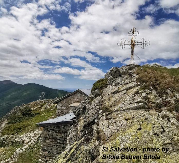
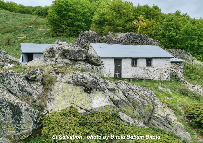
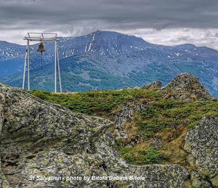
Malovishta Village – St. Salvation
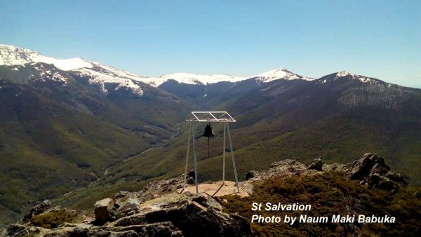
Malovishta Village – St. Salvation
Malovishta Village – St. Salvation


Description of the trail: the length of the trail is 3.5 km, and the average passing time is 2h.
The trail starts from the Malovishta Village , from where, at the upper exit of the village, you can the ascent to the locality St. Salvation (Sv. Spas).


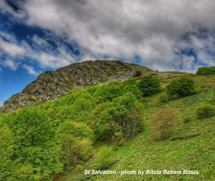
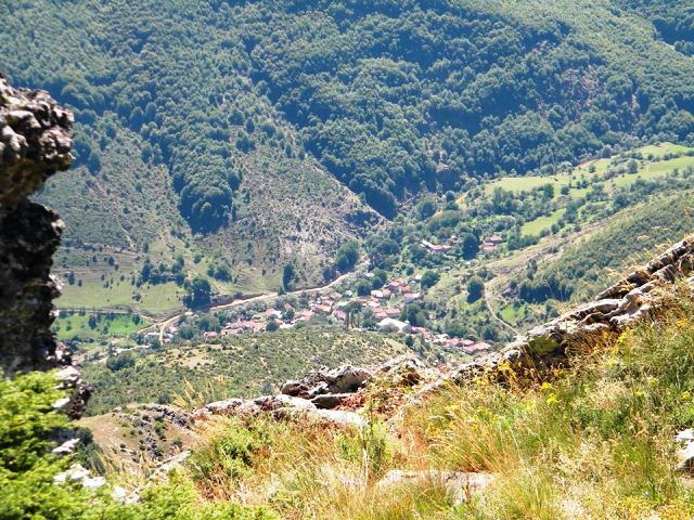
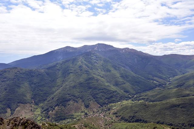
The purpose of the trail is mountainous, recreational, partly alpine hiking and visually attractiveness, with a view and visibility to the Prespa Lake and Lowland, to the Peaks of Baba Planina, Peak Pelister and a beautiful view,”bird’s eye view”, to the village Malovishte, which lies on both sides of the Maloviska River (Shemnica River).
Hardness of the trail: Medium hard trail.
Starting point / altitude: Malovishta Village at 1,140 m above sea level, end point: St. Salvation (Sv. Spas): 1,886 m above sea level. Total denivelation: 746 m above sea level.


Flora and fauna: The predominant woody species along the trail is spruce, beech, and initially a small amount of Molika, Macedonian pine (Pinus peuce Grisebah). Along the trail you can find small oak trees, fern, and a number of diverse grasslands and mountain flowers. From the animal species you can find deer, bear, wolf, fox, wild boar, rabbit, smoot snake, horned viper, common adder, lizard and several species of butterflies and insects.
The trail is of great tourist interest, especially for the visitors of the village Malovishta, who climb to St. Salvation to celebrate Salvation Day (Spasovden), the day of the church. The trail is known as the Trail to St. Salvation and is attractive to those who want to see most peaks of Baba Baba Mountain, but also Lake Prespa, as well as to see an “air” view of the Malovishta Village.